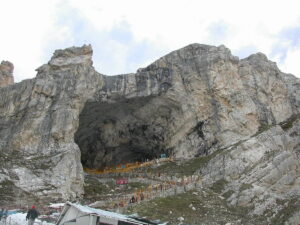

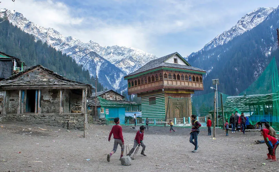
At 6 a.m., beautiful sunrays glowed on my face as I lay half asleep in my tent house. It was time for some morning exercise. We, the ‘SP-25’ group, assembled in lines and jogged through the woods for a warm-up session. We returned to basecamp for breakfast around 7.30 a.m. Our basecamp was in Kasol, Himachal Pradesh, around 7-8 kilometres before Manikaran.
You can get to Kasol by taking a Volvo bus from Delhi to Bhuntar and then a local bus from Bhuntar to Kasol (the total journey duration is 13 hours), or you can fly to Bhuntar and then take the local HRTC bus to Kasol. It takes about 1.5 hours to go there from here.
Sar pass trekStarting at the Base Camp in Kasol
Before the trek began, I had to go through an acclimatization program as the trekking route passes through high altitude terrain. This program starts with a light exercise in the form of jogging around an open ground followed by rappelling and rock climbing which I enjoyed the most. After the exercise, I had my lunch after which I just relaxed and prepared myself for the gala evening.
Camp 1: Grahan
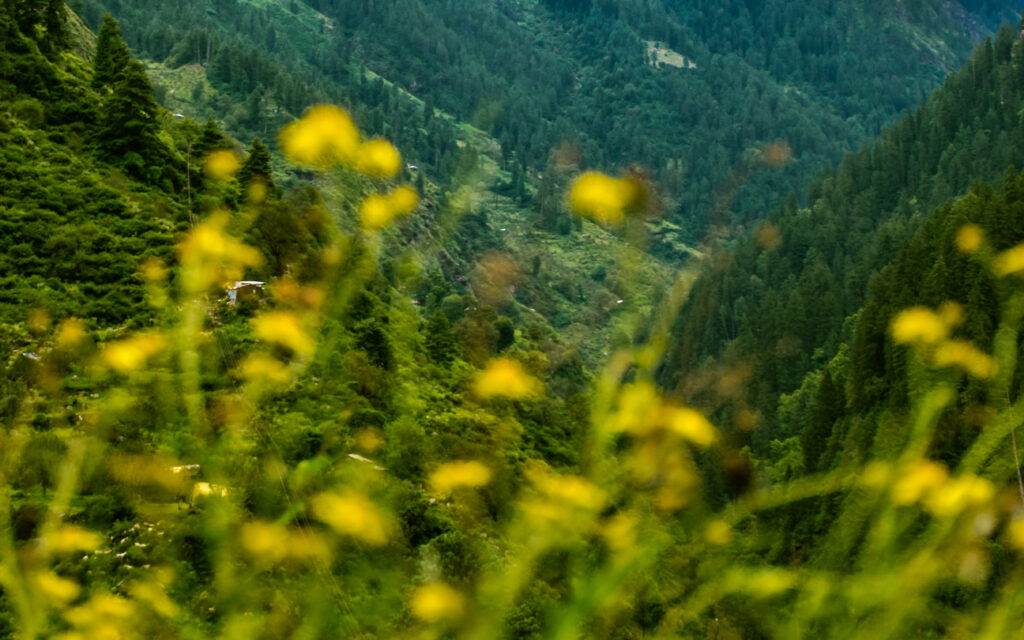
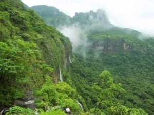
The walk began when we departed Kasol and travelled the 9 kilometres to Grahan, our next destination. I travelled this distance in just under seven hours. We travelled through dense forests while walking alongside the Parvati River for nearly the entire distance. This stretch was the easiest for me because the ground is flat. The Grahan camp is near to a small town in the countryside.
Camp 2: Padri

Our next stop after Grahan was Padri. This is probably the easiest stretch as the path is not very steep and it took us about six hours to complete this stretch. Once I reached the camp, I had enough time to play games and bond with my group.
Camp 3: Ming Thatch
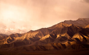
The stretch from Padri to Ming Thatch is one of the most difficult mainly because of the steep path. With frequent breaks, our group took eight hours to cover this route which is 11.5 km long. There was a stretch where we had to walk on ice and snow which was quite slippery, and we had to be extra careful while covering this route. Extreme weather conditions made our journey quite rough, but it was totally worth the risk!
Camp 4: Nagaru
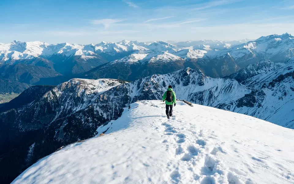
The route from Ming Thatch to Nagaru is mostly covered in snow. From here I could only see snow-covered mountains around and the air got thinner, but the feeling of reaching the highest campsite at 12500 ft was exhilarating
Camp 5: Biskeri

We finally accomplished what we set out to achieve on this day as we cross Sar Pass before reaching the camp at Biskeri. The climb up is quite steep, and we had to slide on the snow to descend. Thankfully, there was no blizzard and we reached the camp without any difficulties.
Camp 6: Barsheni

The camp at Barsheni is located at a lower altitude we saw human settlements again after a while and a huge dam on the river Parvati. This is where I realized the extent of our achievement and the proof was clearly visible on our faces when we saw our sunburnt skin. We finally finished our trek on the seventh day and I experienced a sense of achievement which is hard to describe.
I have never been this tired in my life and I enjoyed the much-needed rest at the Sterling Resorts in Manali which is just 88 km away from Barsheni.